Charleston County is stepping up its efforts to modernize roadway communication and improve traffic conditions for commuters. A newly approved $2.5 million transportation funding initiative will install dynamic message signs across key areas of the city to keep motorists up to speed on traffic hazards, congestion, and emergency alerts. The project, supported by the Charleston Area Transportation Study (CHATS) Policy Committee, will install six high-tech, permanent signs in West Ashley, James Island, and Downtown Charleston — all vital corridors that connect the Charleston peninsula with Mount Pleasant, Isle of Palms, and surrounding communities. This effort is part of the Charleston economic conference vision to strengthen mobility and infrastructure across South Carolina, making it easier for residents, tourists, and business commuters to stay informed through local updates, push notifications, and smarter traffic systems. For those affected by road incidents or collisions in the area, reaching out to a Charleston Car Accident Lawyer can provide crucial guidance and legal support.
Key Locations for Dynamic Message Signs
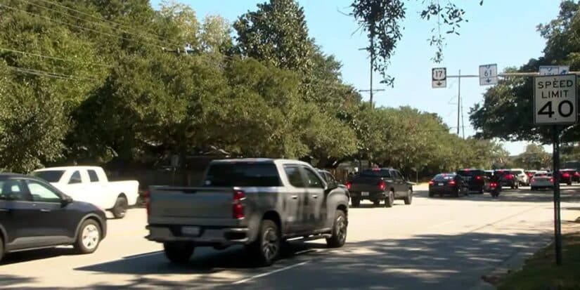
The city will place new dynamic message signs at key locations. These spots include US-17, Folly Road, and Morrison Drive.
These roads carry heavy daily traffic. They connect downtown Charleston with nearby areas. They also serve tourists and delivery vehicles.
Officials say the signs will improve traffic flow. They will also support safer movement for drivers and pedestrians.
Building Toward a Smarter South Carolina
The South Carolina Department of Transportation is working with local partners. Together, they are expanding Charleston’s traffic system.
This plan connects with studies on mobility and rising sea levels. These studies focus on flooding risks and road safety.
Councilman Mike Seekings said the project will benefit daily commuters. He added that drivers across the region will see improvements.
Smarter Technology, Safer Commutes
City engineers will use advanced systems in these signs. These systems will deliver real-time traffic updates.
They will show alerts about congestion, flooding, and road closures. In addition, they will provide safe route guidance.
Officials say the system will also help emergency teams respond faster.
Where Safety Meets Innovation
Charleston has seen increased traffic in recent years. Busy streets like Morrison Drive and Calhoun Street face congestion daily.
The new signs will help manage traffic better. They will reduce delays and improve coordination.
In addition, the city is upgrading road design with new safety features.
Economic Growth and Transportation Funding
This project also supports economic growth. Better roads help tourism and daily business activity.
Funding covers equipment, maintenance, and training. It also supports long-term system upgrades.
Officials say this investment will strengthen Charleston’s infrastructure.
Reducing Congestion and Supporting Emergency Response
The system will improve response during emergencies. It will provide quick updates during storms and road incidents.
Drivers will receive clear directions for safer routes. This will reduce confusion and delays.
As a result, emergency teams can act faster and more efficiently.
Public Engagement and Education
Officials plan to host public meetings and events. Residents can learn how the system works.
They can also sign up for alerts and safety programs. These programs focus on road safety and awareness.
Local groups and schools may also take part in these efforts.
Broader Regional Benefits
The system will also help nearby areas. These include North Charleston and Sullivan’s Island.
Better traffic control will reduce pressure on busy roads. It will also improve safety across the region.
Officials expect long-term benefits for both residents and visitors.
Smarter Cities, Safer Roads
Charleston’s upgrade shows a shift toward smart infrastructure. Other regions are now watching this model closely.
Smart systems can reduce accidents and delays. They also support safer and more efficient travel.
Overall, this project marks a major step toward safer roads in South Carolina.
About Ted Law
Ted Law Firm, continues to highlight developments that impact infrastructure, mobility, and safety across South Carolina.By reporting on key civic initiatives whether it’s a Charleston economic conference,We serve families across Aiken, Anderson, Charleston, Columbia, Greenville, Myrtle Beach, North Augusta and Orangeburg North Charleston Police safety update, or a traffic stop case near Morrison Drive Ted Law underscores the importance of community-focused change that benefits everyone.Contact us today for a free consultation.
